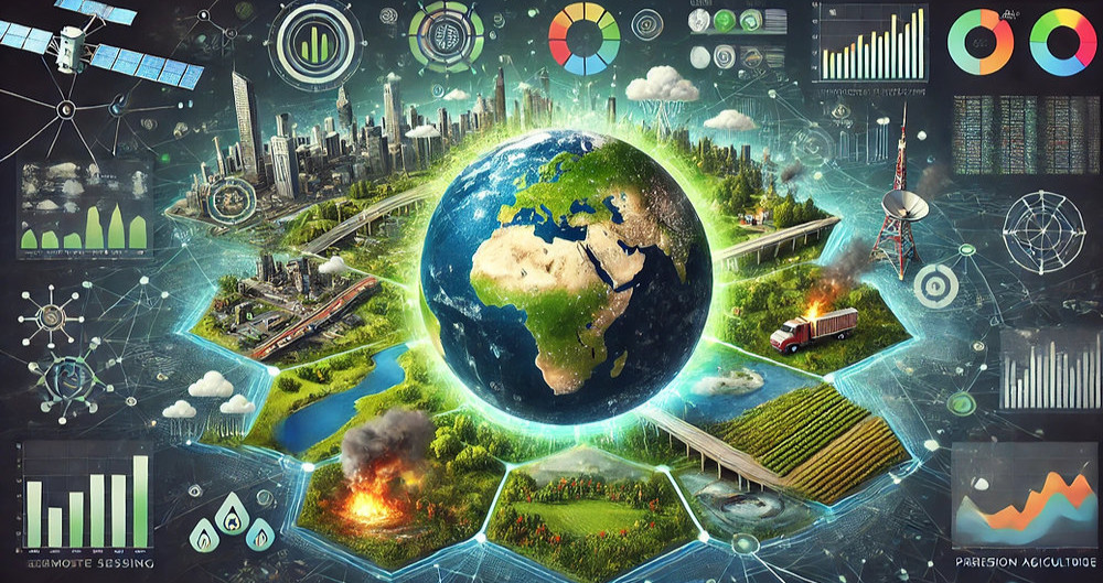
In an era of rapid environmental change, the demand for accurate, real-time data has never been greater. Remote sensing and Geographic Information Systems (GIS) are revolutionizing how we monitor, analyze, and combat global environmental challenges—from deforestation and climate change to disaster management and biodiversity conservation.
Discover how these cutting-edge tools are shaping a sustainable future—and why they’re essential in the fight to protect our planet.
Remote sensing is the science of collecting data about Earth’s surface from a distance, using:
· Satellites (e.g., Landsat, Sentinel)
· Aircraft & drones (aerial photography, LiDAR)
· Ground-based sensors (IoT, weather stations)
These tools capture data across multiple spectrums (visible light, infrared, microwave), enabling detailed environmental monitoring.
When combined with Geographic Information Systems (GIS)—a powerful framework for spatial data analysis—remote sensing becomes a game-changer for environmental management, urban planning, and climate resilience.
· Early 1900s: Aerial photography for mapping & military use.
· 1970s: Launch of Landsat, the first Earth-observing satellite.
· 2000s–Present: High-resolution satellites (Sentinel, MODIS) and AI-driven analytics.
· 1960s: Early GIS for basic mapping.
· 1990s–Today: Advanced platforms (ArcGIS, QGIS) enable real-time tracking, predictive modeling, and 3D mapping.
? Problem: Deforestation drives climate change & biodiversity loss.
? Solution: Satellites track forest cover changes in real-time.
? Example: Global Forest Watch uses GIS mapping to expose illegal logging.
? Problem: Increasing wildfires, floods, hurricanes.
? Solution: Satellites provide rapid damage assessment.
? Example: GIS helped coordinate Haiti earthquake relief (2010).
? Problem: Rising temperatures, melting glaciers.
? Solution: Satellites (GRACE, CryoSat) monitor ice loss & sea levels.
? Example: NASA uses GIS to model future climate scenarios.
? Problem: Water scarcity & pollution.
? Solution: Remote sensing tracks water levels & quality.
? Example: Copernicus Water Monitoring Service ensures European water security.
? Problem: Habitat loss & poaching.
? Solution: Satellites track wildlife migration & illegal activities.
? Example: GIS maps elephant routes in Africa to reduce human-wildlife conflict.
? Problem: Unsustainable urbanization.
? Solution: GIS optimizes land use & infrastructure.
? Example: World Bank’s Urban Resilience Program builds climate-resilient cities.
? Problem: Crop failures & soil degradation.
? Solution: Satellites monitor soil moisture & crop health.
? Example: India’s NRSC uses remote sensing for crop forecasting.
Despite their potential, remote sensing & GIS face hurdles:
· High costs of satellite data & software.
· Need for technical expertise in data analysis.
· Data integration challenges across platforms.
· Ethical concerns (privacy, surveillance risks).
? What’s Next?
? Higher-resolution satellites (e.g., Planet Labs’ daily imaging).
? AI & machine learning for automated data analysis.
? Citizen science (e.g., Google Earth Engine).
? IoT integration for real-time environmental monitoring.
Remote sensing and GIS are not just tools—they’re the backbone of modern environmental science. By providing real-time insights, predictive analytics, and actionable data, these technologies empower us to:
? Combat climate change
? Protect ecosystems
? Save lives during disasters
? Build smarter, greener cities
As climate threats grow, the role of GIS and remote sensing will only expand. Governments, businesses, and conservationists must adopt these technologies to ensure a sustainable future.
Whether you're a researcher, policymaker, or environmental advocate, now is the time to leverage remote sensing for global impact.
? Explore GIS tools today and join the movement for a greener planet! https://phoenixtrainingcenter.com/course-category/gis-and-remote-sensing
Phoenix Training Center
Typically replies in minutes